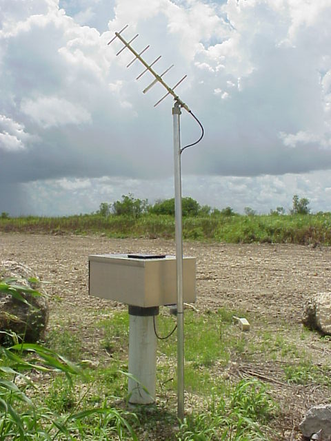
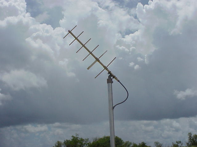
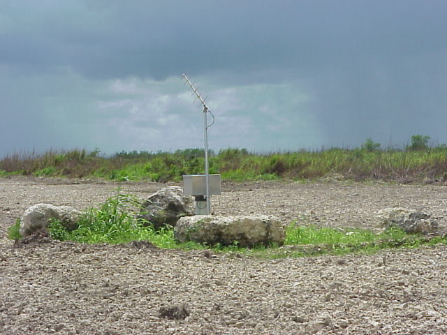
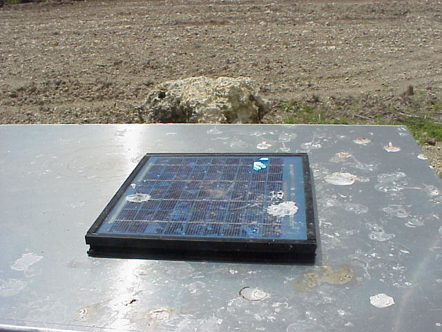
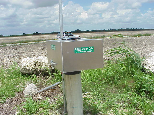
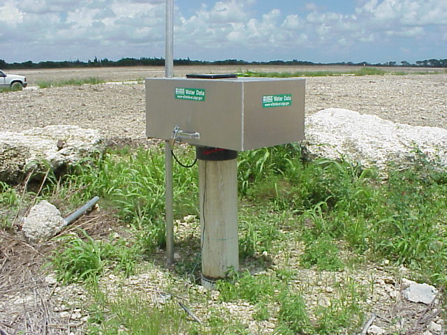
I found this in South Dade. It's a well to check the underground water level. Data from this is transmitted on UHF up to a satellite. A solar panel on the top powers it. It looks like it was just installed. I think it was in this area:
This is where the data ends up:
http://water.usgs.gov/fl/nwis/uv?dd_cd=01&format=gif&period=45&site_no=252928080332401

07/15/2003
